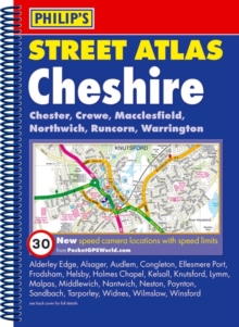
Image for Cheshire  : Chester, Crewe, Macclesfield, Northwich, Warrington

Cheshire : Chester, Crewe, Macclesfield, Northwich, Warrington (5th ed)

Part of the Philip's street atlas series
See all formats and editions

This fully revised street atlas of Cheshire gives comprehensive and detailed coverage of the county.

The route planner shows all the A and B roads, and can be used when driving to get close to the destination before turning to the relevant large-scale street map.The street maps show every named road, street and lane very clearly, with major roads picked out in colour.

The maps are at a standard scale of 3.5 inches to 1 mile, and show postcode boundaries.

Chester city centre is also shown at 7 inches to 1 mile.Other information on the maps includes car parks, railway and bus stations, post offices, schools, colleges, hospitals, police and fire stations, places of worship, leisure centres, footpaths and bridleways, camping and caravan sites, golf courses, and many other places of interest.

This edition includes the latest fixed single and multiple speed-camera locations, with corresponding speed limits.The comprehensive index lists street names and postcodes, plus schools, hospitals, railway stations, shopping centres and other such features picked out in red, with other places of interest shown in blue.

Read More
Title Unavailable: Out of Print

The title has been replaced.To check if this specific edition is still available please contact Customer Care +44(0)1482 384660 or schools.services@brownsbfs.co.uk, otherwise please click 9781849073868 to take you to the new version.

This title has been replaced View Replacement
Product Details
Philip's
1849071268 / 9781849071260
Spiral bound
04/10/2010
United Kingdom
English
1 atlas (viii, 286 p.) : col
27 cm
General (US: Trade) Learn More