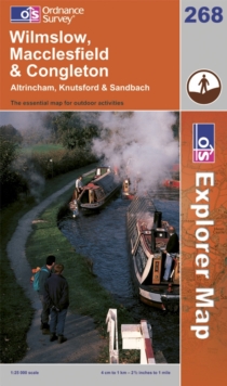
Image for Wilmslow, Macclesfield & Congleton  : Altrincham, Knutsford & Sandbach

Wilmslow, Macclesfield & Congleton : Altrincham, Knutsford & Sandbach (Rev. [ed.])

Part of the OS Explorer Map series
See all formats and editions

OS Explorer Map is the Ordnance Survey's most detailed map and is recommended for anyone enjoying outdoor activities like walking, horse riding and off-road cycling.

Providing complete GB coverage the series details essential information such as youth hostels, pubs and visitor information as well as rights of way, permissive paths and bridleways.

Read More
Title Unavailable: Out of Print

The title has been replaced.To check if this specific edition is still available please contact Customer Care +44(0)1482 384660 or schools.services@brownsbfs.co.uk, otherwise please click 9780319244654 to take you to the new version.

This title has been replaced View Replacement
Product Details
Ordnance Survey
0319237451 / 9780319237458
Sheet map, folded
21/11/2005
United Kingdom
English
1 map : both sides, col
84 x 96 cm. folded to 23 x 14 cm
general Learn More
Previous ed.: 2000.