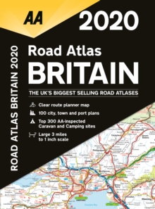
Image for AA Road Atlas Britain 2020

AA Road Atlas Britain 2020 (34 New edition)

See all formats and editions

This top-selling A4 road atlas showcases Britain's clearest mapping from the experts from the AA at a large 3.2 miles to 1 inch scale.

Each page has been titled with it's geographical location so you can turn to the page you need more easily.

Wide and narrow minor roads, National Trust, English & World Heritage sites and hard-to-find places are shown.

There are 112 city, town, port and airport plans, full colour county, unitary and administrative area map and a comprehensive 31,500 entry index with airports, top tourist sites and motorway services listed.

Plus, scenic routes, golf courses and caravan & camping sites symbolised on the mapping.

Motorway maps, ferry planning information and 5 district maps provide the essential motoring content for travelling the country. The atlas also includes the Top 300 AA-inspected caravan and camping sites, over 240 service areas and 10 pages of central London street mapping with index.

Read More
Title Unavailable: Out of Print

The title has been replaced.To check if this specific edition is still available please contact Customer Care +44(0)1482 384660 or schools.services@brownsbfs.co.uk, otherwise please click 9780749583408 to take you to the new version.

This title has been replaced View Replacement
Product Details
Automobile Association
0749581352 / 9780749581350
Spiral bound
912.41
01/06/2019
United Kingdom
328 pages
220 x 297 mm
General (US: Trade) Learn More