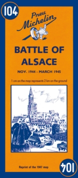
Image for Battle of Alsace - Michelin Historical Map 104 : Map

Battle of Alsace - Michelin Historical Map 104 : Map (Facsimile ed)

Part of the Michelin Historical Maps series
See all formats and editions

Michelin Battle of Alsace Map 104 covers the region associated with the Battle of Alsace between November 1944 and March 1945, at a scale of 1:200,000.

This is a reprint of the 1947 map to commemorate the liberation of France.

The map shows all movements by French, American and German troops, and the dates of those advances.

The original cartography includes all types roads, included those that were under construction - distances are also marked on roads.

Castles, places of worship, ruins are all clearly marked.

The text is in French and English.

Read More
Available
£5.99
Add Line Customisation
Usually dispatched within 2 weeks
Add to List
Product Details
2067002643 / 9782067002647
Sheet map
01/12/1997
France
1 pages
113 x 250 mm, 118 grams