Image for Grand Union Canal

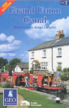
Grand Union Canal - Map 2 : Braunston to Kings Langley (2 Rev ed)

Part of the Inland Waterways of Britain series
See all formats and editions

This tourist map of the Grand Union Canal is presented in four sheets featuring the canal corridor at 1:60,000 and highlighting the Grand Union Canal National Waterway Walk.

The main line of the canal from Birmingham to the Thames is shown on maps 1 and 3.

A special edition, map 2, comprises the southern half of map 1 and the northern half of map 3 offering coverage of the central section in one sheet.

Map 4 features the Leicester Line, Soar Navigation and Erewash Canal.

This map covers Braunston to Kings Langley. Side one has canal coverage from Braunston to Fenny Stratford (Milton Keynes) including the Northampton Arm and its junction with the River Nene Navigation, the unnavigable branch arm to Buckingham and the beginning of the Grand Union Canal Leicester Line at Norton Junction.

Detailed plans of Braunston, Northampton, Stoke Bruerne and Great Linford at 1:15,000 showing streets, shopping areas, canal facilities and places of interest.

Diagrammatic section along the canal from Braunston to Kings Langley.: Side two offers canal coverage from Fenny Stratford to Kings Langley including the whole of the Aylesbury and Wendover Arms. Detailed plans of Fenny Stratford, Aylesbury, Leighton Buzzard and Linslade and Berkhamsted.

Read More
Title Unavailable: Out of Print

The title has been replaced.To check if this specific edition is still available please contact Customer Care +44(0)1482 384660 or schools.services@brownsbfs.co.uk, otherwise please click 9780863513015 to take you to the new version.

This title has been replaced View Replacement
Product Details
GEOprojects (UK) Ltd
0863511422 / 9780863511424
Sheet map, folded
912.42
01/04/2001
United Kingdom
Col.ill.
428 x 810 mm, 41 grams
General (US: Trade) Learn More