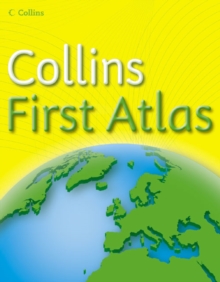
Image for Collins first atlas

Collins first atlas (School ed)

Part of the Collins Primary Atlases series
See all formats and editions

"Collins First Atlas" is a fun, simple atlas for 4-6 year olds which provides an introduction to basic geographical and atlas vocabulary.

Its features include: bright colourful mapping, covers the British Isles, Europe and the wider world, selective use of names and map detail, ideal for the younger user, and clear simple text accompanies each map.

Read More
Available
£4.99
Add Line Customisation
Out of print
Add to List
Product Details
Collins
000722169X / 9780007221691
Paperback
912
06/02/2006
United Kingdom
English
32 p.
24 cm
schools Learn More
Collins First Atlas is a fun, simple atlas for 4-6 year olds which provides an introduction to basic geographical and atlas vocabulary. /Bright colourful mapping /Covers the British Isles, Europe and the wider world /Selective use of names and map detail, ideal for the younger user /Clear simple text accompanies each map
Collins First Atlas is a fun, simple atlas for 4-6 year olds which provides an introduction to basic geographical and atlas vocabulary. /Bright colourful mapping /Covers the British Isles, Europe and the wider world /Selective use of names and map detail, ideal for the younger user /Clear simple text accompanies each map YRW Atlases & maps (Children’s/Teenage)