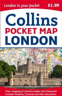
Image for London Pocket Map

London Pocket Map (New ed)

See all formats and editions

Handy little full colour Collins map of central London with a high level of detail.

Clear mapping of central London from Regent's Park in the north to Kennington in the south, and Kensington Gardens in the west to Tower Bridge in the east at a scale of 1:12,500 (5 inches to 1 mile).

Maps of West End shopping and theatres are also included. Clear, detailed, full colour Collins mapping is presented in a handy format ideal for the pocket or handbag.

It is excellent value and covers the most visited area of central London.

It is an essential buy for tourists and residents alike. This map includes:* Detailed central area map* Theatres and cinemas map* Shopping map* Underground map* The latest congestion zone boundary

Read More

The title has been replaced.To check if this specific edition is still available please contact Customer Care +44(0)1482 384660 or schools.services@brownsbfs.co.uk, otherwise please click 9780008370015 to take you to the new version.

£1.99
This title has been replaced View Replacement
Product Details
Collins
0008214174 / 9780008214173
Sheet map, folded
912.421
09/03/2017
United Kingdom
90 x 140 mm, 40 grams
General (US: Trade) Learn More