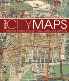
Image for Great city maps

Great city maps

DK
See all formats and editions

Journey back in time and take a walk through the historic streets of the world's greatest cities. Great City Maps is the companion title to DK's Great Maps and takes a focused look at over 70 gorgeously illustrated historical maps and plans of cities around the globe.

Dive into the detail of each beautiful map and learn about interesting features with visual tours of the maps' highlights - such as the Old London Bridge of London in 1572 and the orchards of Brooklyn in 1767 New York. Cities are centres of civilisation and the way their maps portray them reflects their politics, religion, and culture.

See how certain cities, and cartographic techniques, changed over time.

More than just a bird's-eye-view, this unputdownable book tells the tales behind the cities from the hubs of ancient peoples to modern mega-cities, and profiles the iconic cartographers and artists who created each map.

Perfect for history, geography, and cartography enthusiasts and a stunning gift for armchair explorers of all ages, Great City Maps is your window into the world's most fascinating cities.

Read More
Title Unavailable: Out of Print
Product Details
DK
0241238986 / 9780241238981
Hardback
01/09/2016
United Kingdom
English
256 pages : illustrations (black and white, and colour), maps (black and white, and colour)
31 cm
General (US: Trade) Learn More