Image for Great Britain Counties and Unitary Authorities Map

Great Britain Counties and Unitary Authorities Map (6 ed)

Part of the A-Z Road Maps & Atlases series
See all formats and editions

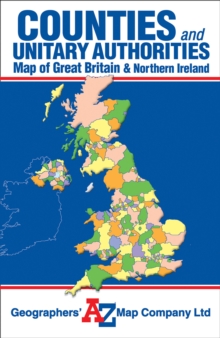
This single sided foldout map of Great Britain and Northern Ireland is designed to show counties and unitary authorities.

Each county and unitary authority is distinctly coloured and named according to the local government boundary reorganisation including the latest changes from April 2009. Whilst there is no road detail on the map it does include an index to towns and villages shown on the map.

Read More
Title Unavailable: Out of Print
Product Details
Geographers' A-Z Map Co Ltd
1843486288 / 9781843486282
Sheet map, folded
13/10/2008
United Kingdom
col.
140 x 215 mm, 126 grams
General (US: Trade) Learn More