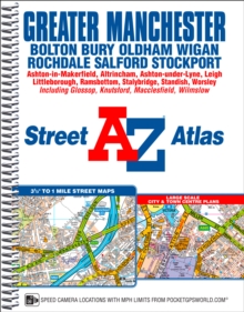
Image for Greater Manchester  : Bolton, Bury, Oldham, Wigan, Rochdale, Salford, Stockport ..

Greater Manchester : Bolton, Bury, Oldham, Wigan, Rochdale, Salford, Stockport .. (New ed)

Part of the AZ street atlas series
See all formats and editions

This A-Z map of Greater Manchester is a full colour, spiral bound street atlas featuring 122 pages of continuous street mapping which extends to include: BoltonBuryOldhamWiganRochdaleSalfordStockportAshton-in-MakerfieldAltrinchamAshton-under-LyneCheadleLeighLittleboroughMacclesfieldRamsbottomStalybridgeStandishWilmslow In addition, there is separate coverage of Knutsford and large scale city and town centre maps of:*Manchester*Altrincham*Ashton-under-Lyne*Bolton*Bury*Oldham*Rochdale*Stockport*Wigan Postcode districts, one-way streets, safety camera locations with their maximum speed and National Park boundaries are also featured on the mapping. Also included are:*a postcode map of the Greater Manchester area*a road map of the Greater Manchester area*a Manchester Rail and Metrolink Connnections map The index section lists streets, selected flats, walkways and places of interest, place and area names, National Rail and Metrolink station names.

There is a separate list of hospitals, hospices and NHS Walk-in Centres covered by the atlas.

Read More
Title Unavailable: Out of Print
Product Details
Geographers' A-Z Map Co Ltd
1843488213 / 9781843488217
Spiral bound
22/03/2016
United Kingdom
English
1 atlas (239 p.) : col
27 cm
General (US: Trade) Learn More