Image for Map of Europe

Map of Europe (Rev ed)

See all formats and editions

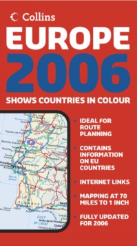
New edition of annually revised, politically coloured map of Europe.

This is an ideal map for planning and route-finding on a scale 1 : 4 500 000 (1cm to 45 km/1 inch to 71 miles).

It covers areas from the North Cape to Gibraltar and from Ireland to east of Moscow.

It also includes Iceland and Cyprus. This politically coloured map showing classified road network, railways, airports, cities and towns.

It includes: index to place names on reverse of sheet; distance chart giving distances in kilometres between main towns; European Union map showing member states and the Euro-zone; Internet links to further information on Europe; key to approved country code abbreviations - GB, F, D, etc; and a map legend in English, French, German, Spanish and Italian.

It is aimed at home and business reference users. The other products in this series are: 2006 Map of France, 2006 Map of Spain and Portugal, 2006 Map of USA, 2006 Map of Britain, 2006 Map of Scotland, and 2006 Map of Ireland.

Read More
Title Unavailable: Out of Print

The title has been replaced.To check if this specific edition is still available please contact Customer Care +44(0)1482 384660 or schools.services@brownsbfs.co.uk, otherwise please click 9780007317912 to take you to the new version.

This title has been replaced View Replacement
Product Details
Collins
0007205678 / 9780007205677
Sheet map, folded
912.4
03/10/2005
United Kingdom
With index
140 x 250 mm, 107 grams
General (US: Trade) Learn More