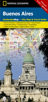
Image for Buenos Aires : Destination City Maps

Buenos Aires : Destination City Maps

See all formats and editions

CityDestinationMaps blend urban guidebook information with easy to read street maps, complete with 3D buildings.

The maps are printed on waterproof, tear-resistant material that's lightweight yet very durable.

Double-sided with beautiful photos and detailed travel information, in addition to the easy-to-read map on the front, the back of this Buenos Aires map includes: Regional map - Subte (subway) map - Information on transportation, tipping, hospitals, and more - Points of interest - Inset map of Isla Martin Garcia - Multi-language legend.

Scale : 1:14,500 Flat Size : 635 x 457 mm.

Read More
Title Unavailable: Out of Print
Product Details
National Geographic Maps
159775210X / 9781597752107
Sheet map, folded
918.211
02/08/2012
United States
1 pages
105 x 225 mm, 41 grams
General (US: Trade) Learn More