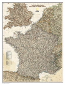
Image for France, Belgium, And The Netherlands Executive, Tubed : Wall Maps Countries & Regions

France, Belgium, And The Netherlands Executive, Tubed : Wall Maps Countries & Regions (2009th ed.)

See all formats and editions

National Geographic Wall Maps offer a special glimpse into current and historical events, and they inform about the world and environment.

Offered in a variety of styles and formats, these maps are excellent reference tools and a perfect addition to any home, business or school.

There are a variety of map options to choose from, including the world, continents, countries and regions, the United States, history, nature and space.

Read More
Title Unavailable: Out of Print
Product Details
National Geographic Maps
1597752878 / 9781597752879
Sheet map, rolled
02/08/2012
United States
1 pages
56 x 640 mm, 144 grams
General (US: Trade) Learn More