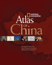
Image for National Geographic atlas of China  : an expansive portrait of China today with more than 400 maps and illustrations

National Geographic atlas of China : an expansive portrait of China today with more than 400 maps and illustrations (New ed)

See all formats and editions

The world's most populous nation with 1.3 billion people has emerged as an economic superpower.

With over 300 maps and illustrations, the "Atlas of China" dramatically illustrates the tremendous changes occurring within China as well as their implications for the rest of the world.

The Atlas maps the entire country with brand new detailed sections covering all provinces - their towns, cities, and transportation networks.

Ten of China's major cities receive an entire spread with detailed maps and fact boxes.

Beijing, the capital, receives special coverage featuring sites tied to the upcoming Summer Olympics.

With the World's Fair hosted by the Chinese in Shanghai in 2010 - China's first World's Fair - this important city destination will be charted extensively, as well.

The theme for the Expo 2010 will be 'Better City, Better Life'.

The Fair is expected to draw 70 million visitors. Atlas thematic topics accurately reveal the latest information on trade, energy, natural resources, population, military strength, religion, languages, tourism, transportation, and more.

A comprehensive place-name index navigates the reader to thousands of locations. New satellite imagery and mosaics at a higher resolution than ever published by National Geographic before reveal amazing details of China's diversified physical landscape.

Read More
Title Unavailable: Out of Print
Product Details
National Geographic Society
1426203276 / 9781426203275
Paperback
912.51
19/10/2009
United States
English
1 atlas (128 p.) : all col. maps
28 cm
General (US: Trade) Learn More