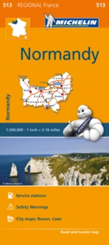
Image for Normandy - Michelin Regional Map 513 : Map

Normandy - Michelin Regional Map 513 : Map (2020)

See all formats and editions

(Edition updated in 2020) MICHELIN Normandy Regional Map scale 1/200,000 will provide you with an extensive coverage of primary, secondary and scenic routes for this French region.

In addition to Michelin's clear and accurate mapping, this regional map includes all the practical information for a trouble free journey, including major town plans as well as tourism information to make the most of your journey.

With MICHELIN Regional Maps, find more than just your way!MICHELIN REGIONAL MAPS include practical information for a trouble free journey and show primary & secondary road networks. * Administrative boundaries* Scenic routes and tourist sights* Place name index* Time and distance charts* Plans for a selection of major towns* Practical information: danger alerts, service stations, picnic areas

Read More
Title Unavailable: Out of Print

The title has been replaced.To check if this specific edition is still available please contact Customer Care +44(0)1482 384660 or schools.services@brownsbfs.co.uk, otherwise please click 9782067258655 to take you to the new version.

This title has been replaced View Replacement
Product Details
2067209655 / 9782067209657
Sheet map
912.442
07/03/2016
France
1 pages
113 x 250 mm, 118 grams
General (US: Trade) Learn More