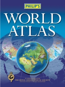
Image for Philip's world atlas

Philip's world atlas ([New ed.])

See all formats and editions

With 96 pages of authoritative world maps, a comprehensive index, 69 city maps, and a thematic section providing information on topics covered in geography, humanities and economics courses, Philip's World Atlas is recommended for students as well as for general home reference.The 96 pages of physical and political maps give a balanced coverage of the world at well-chosen scales.

The hill-shading on the physical maps provides an exceptionally vivid portrayal of landforms.The 32-page introductory section - 'The World in Focus' - covers key geographical themes such as the Earth's position in the Solar System, the structure of the Earth, climate and weather, the environment, population, resources, economics and international organizations.The 48-page 'World Cities' section provides urban-area and city-centre maps marking tourist sites for 69 of the world's most important cities, backed up by a comprehensive index.

Full-page satellite images for 9 of the cities featured complete this section.The 35,000-name index includes geographical features as well as towns and cities, with both letter-figure grid references and latitude and longitude co-ordinates.

Read More
Title Unavailable: Out of Print

The title has been replaced.To check if this specific edition is still available please contact Customer Care +44(0)1482 384660 or schools.services@brownsbfs.co.uk, otherwise please click 9781849075176 to take you to the new version.

This title has been replaced View Replacement
Product Details
Philip's
1849072361 / 9781849072366
Hardback
912
10/10/2012
United Kingdom
English
1 atlas (viii, 176 p.) : col
32 cm
General (US: Trade) Learn More
Maps on lining papers Published in association with the Royal Geographical Society with the Institute of British Geographers.