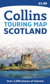
Image for Scotland Touring Map

Scotland Touring Map (New ed)

See all formats and editions

Scale: 1:316,800 (5 miles to 1 inch). This popular touring map has a huge amount of detail with places of tourist interest plotted and named on the map.

Fully updated for 2010. A clear, easy to follow road map with colour classified roads.

The attractive hill shading shows the shape of the landscape and hundreds of places of tourist interest have been plotted and named on the map.

There is a comprehensive index to both place names and places of tourist interest.

This map includes: * the whole of Scotland on a double sided sheet at 5 miles to 1 inch. * over 25 categories of tourist information shown on the map including youth hostels, picnic sites and ferries as well as the more obvious tourist sites such as castles, wildlife parks and museums. * detailed town centre maps of Edinburgh, Glasgow, Aberdeen, Dundee, Inverness and Perth * distances on the map along major routes.

This best selling map contains everything for the holiday maker who wishes to explore this beautiful country.

Read More

The title has been replaced.To check if this specific edition is still available please contact Customer Care +44(0)1482 384660 or schools.services@brownsbfs.co.uk, otherwise please click 9780008183691 to take you to the new version.

£3.99
This title has been replaced View Replacement
Product Details
Collins
0007320744 / 9780007320745
Sheet map, folded
912.411
04/03/2010
United Kingdom
With index
139 x 237 mm, 140 grams
General (US: Trade) Learn More