Image for Inland waterways map of Great Britain

Inland waterways map of Great Britain

See all formats and editions

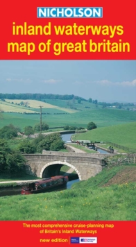
This is the map companion to the "Nicholson Waterways Guides", covering the entire network of canal and river navigations in England, Scotland and Wales.

It identifies narrow and broad canals, navigable rivers, tidal river navigations and waterways under construction.

An inset map of the Scottish navigations has been enlarged and clearly shows the restored Forth and Clyde and Union Canals. The map also features: contact telephone numbers and dimensions for each waterway; insets of the Birmingham Canal Navigations, Scottish navigations, the Norfolk Broads and the London area; and a guide to the position of locks, tunnels, access roads and boat hire bases.

Read More

The title has been replaced.To check if this specific edition is still available please contact Customer Care +44(0)1482 384660 or schools.services@brownsbfs.co.uk, otherwise please click 9780007280643 to take you to the new version.

£5.99
This title has been replaced View Replacement
Product Details
OS-Nicholson
0007136722 / 9780007136728
Sheet map, folded
03/03/2003
United Kingdom
English
on sheet folded to 49 x 15 cm
general Learn More
At head of title: Nicholson.