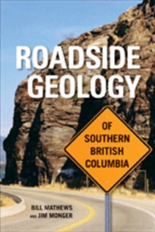
Image for Roadside Geology of Southern British Columbia

Roadside Geology of Southern British Columbia

See all formats and editions

British Columbia was built by some 500 million years of geologic discord along the western margin of the North American tectonic plate.

That turmoil continues today, as the Juan de Fuca tectonic plate inches beneath Vancouver Island, triggering earthquakes and generating the magma that feeds the volcanoes of the Cascades.

This book explains the province's geologic history in simple terms, covering southern British Columbia from the northern tip of Vancouver Island to the BC-Alberta border.

Thirty-one descriptive road guides, complete with maps, photographs and diagrams, help you locate and interpret the rocks and landforms visible from the province's highways and ferry routes.

Discover a lava flow that chilled beneath ice, learn how Ripple Rock claimed 24 ships before engineers finally blew it up, and drive across a slow-moving earthflow that has played havoc with roads since the gold-rush days.

The book a sense of the geology's importance to everyone who lives in and passes through the province.

Read More
Available
£20.99
Add Line Customisation
Usually dispatched within 2 weeks
Add to List
Product Details
1926613341 / 9781926613345
Paperback / softback
557.11
15/06/2010
Canada
416 pages
155 x 230 mm
Professional & Vocational Learn More