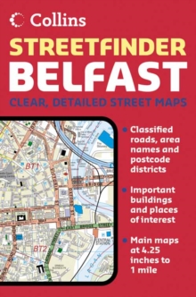
Image for Belfast Streetfinder Colour Atlas

Belfast Streetfinder Colour Atlas (New ed)

See all formats and editions

4.25 inches to 1 mile. Handy atlas in full colour with clear street level mapping.

MAIN FEATURES Street atlas covering an extensive area of Greater Belfast with clear, concise full colour mapping and full index to street names.

INCLUDES / Route planning road map of the area around Belfast / Colour classified roads and streets / Important buildings and places of interest / Car Parks & railway stations AREA OF COVERAGE Extends from Ladybrook in the west, to Holywood in the east and from Belfast Castle in the north to Newtownbreda in the south.

WHO PRODUCT IS OF INTEREST TO Ideal for businesses, residents and visitors with its large area of coverage and high level of detail.

Read More
Title Unavailable: Out of Print

The title has been replaced.To check if this specific edition is still available please contact Customer Care +44(0)1482 384660 or schools.services@brownsbfs.co.uk, otherwise please click 9780007493784 to take you to the new version.

This title has been replaced View Replacement
Product Details
Nicholson
0007191936 / 9780007191932
Paperback
04/04/2005
United Kingdom
English
48 p.
22 cm
general Learn More
Previous ed.: 2003.
4.25 inches to 1 mile. Handy atlas in full colour with clear street level mapping. / Clear precise street level detail in full colour / Index to all street names / Important buildings and places of interest shown / Handy format -- ideal for the glovebox or bag
4.25 inches to 1 mile. Handy atlas in full colour with clear street level mapping. / Clear precise street level detail in full colour / Index to all street names / Important buildings and places of interest shown / Handy format -- ideal for the glovebox or bag 1DBKN Northern Ireland, WTRS Street maps & city plans