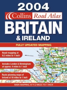
Image for 2004 Handy Road Atlas Britain and Ireland

2004 Handy Road Atlas Britain and Ireland

See all formats and editions

With a handy A5 format, this spiral-bound atlas should prove to be a useful travelling companion.

It has clear, detailed mapping and fits neatly into the glovebox, pocket or bag.Features include: a full index to place names; clear layer colouring; and colour classified roads.

Places of tourist interest have been highlighted and the distances between destinations marked.

The mapping covers the whole of Britain at 9 miles to 1 inch and Ireland at 16 miles to 1 inch.

The urban areas of London and Birmingham are shown at 4 miles to 1 inch.

Read More
Title Unavailable: Out of Print

The title has been replaced.To check if this specific edition is still available please contact Customer Care +44(0)1482 384660 or schools.services@brownsbfs.co.uk, otherwise please click 9780007199945 to take you to the new version.

This title has been replaced View Replacement
Product Details
Collins
0007161964 / 9780007161966
Spiral bound
912.41
04/08/2003
England
English
80 p.
21 cm
general Learn More