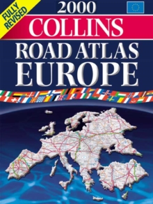
Image for COLLINS ROAD ATLAS EUROPE 1999

COLLINS ROAD ATLAS EUROPE 1999

See all formats and editions

Fully revised and updated, this edition features road mapping from the Bartholomew digital database and contains new European driving information in addition to route planning maps, urban area and city through route maps and a comprehensive place name index.

Read More
Special order line: only available to educational & business accounts. Sign In

The title has been replaced.To check if this specific edition is still available please contact Customer Care +44(0)1482 384660 or schools.services@brownsbfs.co.uk, otherwise please click 9780004489551 to take you to the new version.

£9.99
This title has been replaced View Replacement
Product Details
Collins
0004486218 / 9780004486215
Paperback
912.4
07/12/1998
England
English
xvp., p.2-131
39 cm
general Learn More