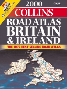
Image for 2000 Collins Road Atlas Britain and Ireland

2000 Collins Road Atlas Britain and Ireland

See all formats and editions

3.2 miles to 1 inch 1:250,000 The ultimate road atlas for the year 2000, featuring the exceptionally clear 'Collins' mapping from the Bartholomew digital database, with handy spiral binding.

MAIN FEATURES All new, fully up-to-date mapping covering the whole of Britain and Ireland.

INCLUDES * Route planning maps & limited access junction information * Main map section covering the whole of Britain and Ireland * Full London planning and detail section * Urban area maps with inset town centre plans * Comprehensive selection of town centre maps * Full index to place names and places of interest AREA OF COVERAGE The whole of Britain and Ireland WHO THE PRODUCT IS AIMED AT Any driver of any vehicle who requires the latest information, the most complete coverage and the clearest detail of any road atlas.

OTHER PRODUCTS IN THE SERIES This title can also be purchased with a paperback binding.

Read More
Title Unavailable: Out of Print
Product Details
Collins
0004488539 / 9780004488530
Spiral bound
912.41
02/08/1999
England
English
viii, 160p.
39 cm
general Learn More