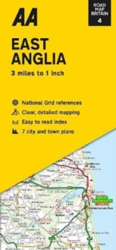
Image for Road Map East Anglia

Road Map East Anglia (New ed)

Part of the Road Map Britain series
See all formats and editions

Each map includes information on toll points, service areas, road numbers, motorways, dual carriageways and wide and narrow local roads.

National Parks and places of interest are also highlighted. Practical, slimline format with durable, plastic encapsulated covers. Clear mapping at an easy-to-read scale. National Trust, English Heritage, Scottish and Welsh Heritage sites all shown.

Read More
Title Unavailable: Out of Print

The title has been replaced.To check if this specific edition is still available please contact Customer Care +44(0)1482 384660 or schools.services@brownsbfs.co.uk, otherwise please click 9780749584092 to take you to the new version.

This title has been replaced View Replacement
Product Details
Automobile Association
0749582839 / 9780749582838
Sheet map, folded
912.426
03/03/2022
United Kingdom
1 pages
118 x 252 mm