Image for Mapping the New World: Renaissance Maps

Mapping the New World: Renaissance Maps

See all formats and editions

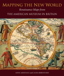
Illustrating the changing shape of the Americas as Renaissance cartographers (working from ancient and medieval sources) learned more of the New World, this collection is the third in a series produced by Scala, which showcases the core collections of the American Museum in Britain.

Dr. Dallas Pratt, an American psychiatrist and collector, donated over 200 exquisitely detailed maps to the American Museum in Britain, until his death in 1994.

This gift is acclaimed by map scholars as the finest private holding of pre-1600 printed world maps on this side of the Atlantic.

Spurred on by thoughts of treasure - particularly gold, silver, gems and spices - European travellers changed the shape of the New World as they mapped the Americas from the 15th to the 17th centuries.

Whereas medieval maps illustrated theology rather than geography, the Renaissance revived the classical discipline of scientifically mapping land mass.

Such precision was entirely practical: only by exact measurement could the rich New World territories be claimed, plundered and ruled by its Old World conquerors.

Read More
Title Unavailable: Out of Print
Product Details
1857598229 / 9781857598223
Paperback / softback
27/11/2013
United Kingdom
English
128 pages : illustrations (colour)
29 cm
General (US: Trade) Learn More