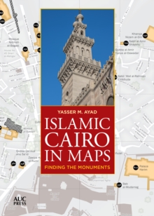
Image for Islamic Cairo in Maps : Finding the Monuments

Islamic Cairo in Maps : Finding the Monuments

See all formats and editions

A portable, easy-to-use map guide that locates over 700 hundred Islamic-era monuments in historic Cairo using the most sophisticated Geographic Information Systems (GIS) technologyThis portable, easy-to-use map guide helps you locate over seven hundred Islamic-era monuments in Cairo’s historic core, stretching from the city’s northern walls all the way southward to the Mosque of Ibn Tulun and the Citadel, and beyond to Coptic Cairo, which includes monuments that pre-date Islamic rule.

Clearly divided into six digestible main sections, the first five contain clusters of monuments, while the sixth covers structures scattered all around the old Cairene urban fabric. The clear, uncluttered cartographic style makes finding where you want to go a pleasure, and the maps are accompanied by a comprehensive index of monuments that gives their dates where known, their location referenced to their corresponding map pages, and a timeline of key periods and dynasties. Attractively designed in full color and including over twenty photographs of key monuments, this guide is conveniently packed into a slim 104 pages—handy enough to take anywhere and great for planning and remembering excursions.

It is not only an ideal companion for the city’s visitors and residents but an invaluable resource for historians, writers, and students.

Read More
Available
£14.44 Save 15.00%
RRP £16.99
Add Line Customisation
2 in stock Need More ?
Add to List
Product Details
1649031114 / 9781649031112
Paperback / softback
10/01/2023
United States
104 pages, 77 Maps
152 x 210 mm