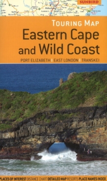
Image for Eastern Cape & Wild Coast Touring Map : Port Elizabeth, East London, Transkei

Eastern Cape & Wild Coast Touring Map : Port Elizabeth, East London, Transkei

See all formats and editions

Scale 1:750,000. Easy-to-read, detailed road network with road numbers and distances on main routes; Places of interest, water features, national parks and nature reserves; Street plans of Port Elizabeth, East London, King William's Town and Bhisho, Grahamstown, Graaff-Reinet, Cradock, Somerset East, Jeffreys Bay (Dolphin Beach), Port Alfred, Kenton-on-Sea, Coffee Bay, Hole in the Wall, Hogsback and Port St Johns; Detailed area maps of Addo Elephant National Park and Shamwari Game Reserve; Distance Chart; Place names index.

Read More
Available
£7.99
Add Line Customisation
Usually dispatched within 2 weeks
Add to List
Product Details
Sunbird Publishers Ltd
1920289526 / 9781920289522
Sheet map, folded
01/06/2011
South Africa
240 x 140 mm, 55 grams
General (US: Trade) Learn More