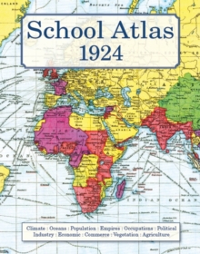
Image for School Atlas 1924

School Atlas 1924

Bartholomew, J GLyde, L W(Introduction by)
See all formats and editions

A nostalgic trip back to the days when learning geography involved exploring a world quite different from the one we live in today and when British influence was still a force for good around the globe. An atlas that revisits the classroom of yesteryear and reminds us of how the world used to be.

Packed with memories of what seemed so important when we were taught it at school but may now have slipped form the mind.

Isotherms and Isobars; Tundra and Steppes; Tanganyika and Siam; Empires and Dominions; Mercator's projection and temperate zones.

There are very clearly printed colourful maps showing population, vegetation, industry and trade, even where we might find sago, pearls, spices, sponges, hides and the granaries of the world.

A few pages of 'teacher's notes' on each map remind us of the way that geography was taught and what we might have been tested on at the end of the long summer term.

It also allows us to revisit the world when Britain's influence dominated global activity. A reprint for pupils of all ages.

Read More
Title Unavailable: Out of Print
Product Details
Old House Books
1873590725 / 9781873590720
Hardback
912
01/01/2008
United Kingdom
76 pages, 64 pages of coloured maps
220 x 280 mm, 634 grams
General (US: Trade) Learn More