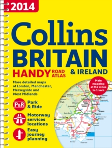
Image for 2014 Collins Handy Road Atlas Britain

2014 Collins Handy Road Atlas Britain

See all formats and editions

This easy-to-use, handy A5 sized road atlas with popular lie-flat spiral binding features extremely clear route planning maps of Britain and Ireland and fits neatly into your glove box, briefcase or bag.

The atlas has been fully updated for 2014. The maps of Britain are at 9.9 miles to 1 inch (1:625,000) and the whole of Ireland is covered at 15.8 miles to 1 inch (1:1,000,000).

There are also a selection of more detailed urban area maps at 4.5 miles to 1 inch (1:285,000) to aid route planning in these busy areas.

The atlas includes: * Road maps that focus on the main roads, motorways and settlements. * More detailed maps of London, Manchester, Merseyside and West Midlands. * National rail map for planning your complete journey. * Park & Ride locations (for bus and rail). * Handy distance calculator chart highlighting distances between the major towns. * Money-off vouchers from Castle Cover Insurance.

Read More
Title Unavailable: Out of Print

The title has been replaced.To check if this specific edition is still available please contact Customer Care +44(0)1482 384660 or schools.services@brownsbfs.co.uk, otherwise please click 9780007555109 to take you to the new version.

This title has been replaced View Replacement
Product Details
Collins
0007497105 / 9780007497102
Spiral bound
912.41
04/07/2013
United Kingdom
English
1 atlas (180 pages) : colour
21 cm
General (US: Trade) Learn More