Image for 2019 Collins Map of Scotland

2019 Collins Map of Scotland (New ed)

See all formats and editions

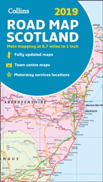
Full colour map of Scotland at 8.7 miles to 1 inch (1:550,000) with clear, detailed road network and administrative areas shown in colour.

The map covers the whole of Scotland and part of Northern England conveniently on one side, and is ideal for reference or route planning. The map shows the road network in detail for easy route planning.

It is ideal for business users also, with its political colouring of local council areas. Main features of this map include:* Fully updated* Administrative areas shown in colour* Clear, detailed road network and road distances* Town and city names, rivers, railway lines and canals are clearly shown* 7 city/town centre street plans showing places of interest. * Index to place names* Mileage chart* Car ferry routes* Key in English, French and German

Read More
Title Unavailable: Out of Print

The title has been replaced.To check if this specific edition is still available please contact Customer Care +44(0)1482 384660 or schools.services@brownsbfs.co.uk, otherwise please click 9780008318741 to take you to the new version.

This title has been replaced View Replacement
Product Details
Collins
0008272735 / 9780008272739
Sheet map, folded
912.411
21/05/2018
United Kingdom
140 x 245 mm, 150 grams
General (US: Trade) Learn More