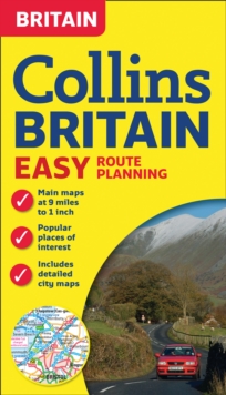
Image for Collins Britain Easy Route Planning Map

Collins Britain Easy Route Planning Map (New ed)

See all formats and editions

This fully revised double-sided map covers the whole of Britain and is perfect for route planning.

More detailed maps of the busiest built-up areas are included.

It is an ideal purchase for both business users and tourists who want a clear and attractive route planning map of the whole of Britain. MAIN FEATURES* Fully updated. * Clear, attractive mapping at 8.7 miles to 1 inch (1:550,000) of the whole of Britain* More detailed maps of 7 of the busiest urban areas at 3.9 miles to 1 inch (1:250,000) INCLUDES* Selection of the top tourist sites. * Distances marked on roads. * Restricted motorway junctions listed. * Car ferry routes. * Park & Ride locations shown, ideal when visiting towns and cities. AREA OF COVERAGEDouble-sided map covering the whole of Britain.

Northern England, Scotland and the Isle of Man are on one side with Southern England and Wales on the other.

Read More
Title Unavailable: Out of Print
Product Details
Collins
0008136068 / 9780008136062
Sheet map, folded
912.41
13/08/2015
United Kingdom
140 x 245 mm, 120 grams
General (US: Trade) Learn More