Image for Collins easy read London

Collins easy read London (New ed)

See all formats and editions

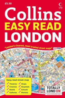
Scale: 1:7500 (8.5 inches to 1 mile). Detailed street atlas with clear, colourful, large scale maps displaying a wealth of information for both tourist and resident.

Covers a large area of central London. Updated for 2008. MAIN FEATURES Exceptionally clear, detailed map at the extra large scale of 8.5 inches to 1 mile with over forty categories of information.

This atlas is presented in a handy spiral binding and has full indexes to street names, place names, railway stations and hospitals. INCLUDES / Places of interest. / Major shops. / Cinemas, theatres and major hotels. / Car parks, BR, DLR & Underground stations. AREA OF COVERAGE Coverage extends from Camden town in the north, to Chelsea in the south, Shepherds Bush in the west to Greenwich and the Dome in the east and Stratford in the north-east. WHO THE PRODUCT IS OF INTEREST TO With its exceptionally clear detailed maps this is an excellent general purpose atlas of central London.

Read More
Title Unavailable: Out of Print
Product Details
Collins
0007257635 / 9780007257638
Spiral bound
912.421
06/05/2008
United Kingdom
English
200 p.
20 cm
General (US: Trade) Learn More