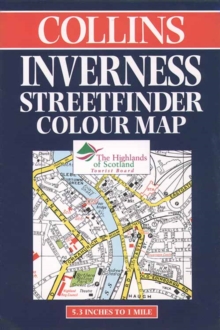
Image for Collins Inverness Streetfinder Colour Map

Collins Inverness Streetfinder Colour Map (n.e.of 3r.e.of)

Cottingham, Mike(Edited by)
Part of the Streetfinders series
See all formats and editions

A full-colour map of Inverness, featuring classified roads, schools and hospitals, one way streets and car parks, along with a full index of street names.

The map extends from the Moray Firth in the north to Lochardil School in the south and Dunain Hill in the west to Raigmore Hospital in the east.

Read More
Title Unavailable: Out of Print
Product Details
Collins
0004487184 / 9780004487182
Sheet map, folded
01/06/1998
United Kingdom
1 pages
133 x 203 mm
General (US: Trade) Learn More