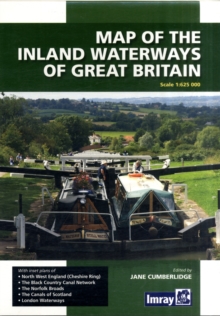
Image for Map of the Inland Waterways of Great Britain

Map of the Inland Waterways of Great Britain (Rev ed)

See all formats and editions

Imray's map has been the standard reference to the Waterways system for nearly 50 years.

Clearly printed in full color showing navigable and abandoned waterways with distances, this map has been completely revised and redrawn under the supervision of Jane Cumberlidge. It includes plans of North West England, The Cheshire Ring, Black Country Canals, the Norfolk Broads, the London Canal network and the small scale plan to show the Scottish Waterways.

This new edition has been fully revised and provides all the latest information on restored waterways. The national road and rail network is now shown in the background.

Read More
Title Unavailable: Out of Print

The title has been replaced.To check if this specific edition is still available please contact Customer Care +44(0)1482 384660 or schools.services@brownsbfs.co.uk, otherwise please click 9781846238277 to take you to the new version.

This title has been replaced View Replacement
Product Details
1846232341 / 9781846232343
Sheet map, folded
01/11/2009
United Kingdom
1 pages, maps
185 x 260 mm, 113 grams
General (US: Trade) Learn More