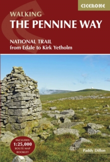
Image for The Pennine Way  : from Edale to Kirk Yetholm

The Pennine Way : from Edale to Kirk Yetholm (Fourth edition)

Part of the A Cicerone guide series
See all formats and editions

A guidebook to walking the Pennine Way, England’s toughest National Trail.

Suited to fit experienced walkers, the 427km (265 mile) route from Edale to Kirk Yetholm follows northern England’s mountainous spine, passing through three national parks: the Peak District, the Yorkshire Dales and Northumberland. The route is described from south to north in 20 stages of between 11 and 32km (7–20 miles). Contains step-by-step description of the route alongside 1:100,000 maps and elevation profilesIncludes a separate map booklet containing OS 1:25,000 mapping with the route lineRoute summary table and trek planner showing the distribution of facilities and public transport along the route Accommodation listings GPX files available for free download

Read More
Available
£12.71 Save 25.00%
RRP £16.95
Add Line Customisation
9 in stock Need More ?
Add to List
Product Details
Cicerone Press
1852849061 / 9781852849061
Paperback / softback
31/01/2022
United Kingdom
English
224 pages : illustrations (colour), maps (colour)
18 cm
Previous edition: 2010.