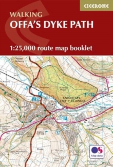
Image for Offa's Dyke Map Booklet

Offa's Dyke Map Booklet : 1:25,000 OS Route Mapping

Dunn, Mike(Contributions by)
See all formats and editions

A booklet of all the mapping needed to complete Offa’s Dyke Path National Trail, following Britain’s longest ancient monument: the eighth century earthwork that once marked the boundary between the Anglo-Saxon kingdom of Mercia and the Welsh kingdoms to the east.

The 285km (177 mile) route from Sedbury Cliffs near Chepstow to Prestatyn is suitable for walkers of most abilities. The full route line is shown on 1:25,000 OS mapsThe map booklet can be used to walk the trail in either directionSized to easily fit in a jacket pocketThe relevant extract from the OS Explorer map legend is includedAn accompanying Cicerone guidebook – Offa’s Dyke Path is also available, which includes a copy of this map booklet

Read More
Available
£9.71 Save 25.00%
RRP £12.95
Add Line Customisation
2 in stock Need More ?
Add to List
Product Details
Cicerone Press
1852848944 / 9781852848941
Paperback / softback
19/09/2023
United Kingdom
English
1 map : colour
18 cm