Image for Student Atlas of the World

Student Atlas of the World

See all formats and editions

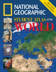
This user-friendly reference is packed with full-size, full-color physical, political, and thematic maps of the world and its continents specifically designed by the Society's world-renowned cartographers to help students understand basic geographic concepts and compare and contrast data critical to making global connections.

The 2001 edition, which was an Outstanding Science Trade Book for Children (NSTA/CBC) and a Notable Social Studies Trade Book for Children (NCSS/CBC), has been completely updated and expanded to include 16 brand-new pages with more maps, photos, charts, and graphs.

In addition to existing thematic spreads on topics ranging from Earth's geologic history and world climate to predominant economies and global freshwater supplies, the 2005 edition will feature all-new illustrated essays on environmental trouble spots, ocean and climate, coral reefs, world refugees, global communications, and diffusion of popular culture, as well as expanded treatment of world languages and religions.

All statistics, maps, and flags of the world have been updated to reflect the most current data, the latest boundary changes, and the newest countries.

Web sites keyed to each photo essay and thematic map provide students with a means of keeping up with our ever-changing world.

Read More
Title Unavailable: Out of Print
Product Details
National Geographic Books
0792271688 / 9780792271680
Hardback
912
03/02/2006
United States
English
128 p. : col. ill.
28 cm
general Learn More