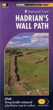
Image for Hadrian's Wall

Hadrian's Wall

Part of the Trail Map XT40 series
See all formats and editions

Entire route on one mapHadrian’s Wall Path is a National Trail and runs 130km (81 miles) from the Solway Coast to Newcastle. The sites of Roman remains are marked on the map, with an enlargement of Housesteads. Tough, light, durable and 100% waterproofIncludes Rights of WayRoute clearly marked

Read More
Available
£12.76 Save 20.00%
RRP £15.95
Add Line Customisation
24 in stock Need More ?
Add to List
Product Details
Harvey Map Services Ltd
1851374388 / 9781851374380
Sheet map, folded
30/08/2019
United Kingdom
1 pages, 1 map
115 x 245 mm, 30 grams