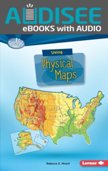
Image for Using Physical Maps

Using Physical Maps

Part of the Searchlight Books (TM) - What Do You Know about Maps? series
See all formats and editions

Audisee(R) eBooks with Audio combine professional narration and text highlighting to engage reluctant readers!

Have you ever wondered which countries have the most lakes? Or where the highest point in your state is? Physical maps show landscape features. They also often show land elevation, or how high the land is above sea level.

But how do you use physical maps? And what do the different colors and symbols on these maps mean?

Read on to learn all about physical maps!

Read More
Available
£6.99
Add Line Customisation
Available on VLeBooks
Add to List
Product Details
Lerner Publications
1512485659 / 9781512485653
eBook (EPUB)
01/08/2017
English
40 pages
Copy: 10%; print: 10%