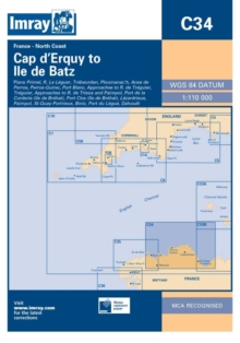
Image for Imray Chart C14 : Cap D'erquy to Ile De Batz

Imray Chart C14 : Cap D'erquy to Ile De Batz (Rev ed)

See all formats and editions

Plans: Primel Riviere Le Leguer Trebeurden Ploumanac'h Anse de Perros Perros-Guirec Port-Blanc Approaches to Riviere de Treguier Treguier Approaches to Riviere de Trieux and Paimpol Port de la Corderie (Ile de Brehat) Port Clos (Ile de Brehat) Lezardrieux Paimpol St-Quay-Portrieux Binic Port du Legue Dahouet 2009 edition includes extensive updating throughout.

Some areas of the chart redrawn to improve positional accuracy.

Includes latest depths in Anse de Perros and the approaches to Le Trieux.

Buoyage in the approaches to Riviere de Treguier and Le Legue fully updated.

Read More
Title Unavailable: Out of Print

The title has been replaced.To check if this specific edition is still available please contact Customer Care +44(0)1482 384660 or schools.services@brownsbfs.co.uk, otherwise please click 9781846236426 to take you to the new version.

This title has been replaced View Replacement
Product Details
1846232481 / 9781846232480
Sheet map, folded
01/12/2009
United Kingdom
1 pages
210 x 297 mm
General (US: Trade) Learn More