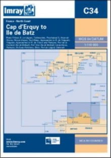
Image for Imray Chart C34 : Cap D'erquy to Ile De Batz

Imray Chart C34 : Cap D'erquy to Ile De Batz

See all formats and editions

Plans included: Primel (1:15 000) Le Leguer (1:42 500) Trebeurden (1:25 000) Ploumanac'h (1:10 000) Anse de Perros (1:30 000) Perros-Guirec (1:15 000) Port-Blanc (1:25 000) Approaches to Riviere de Treguier (1:45 000) Treguier (1:15 000) Approaches to Riviere de Trieux and Paimpol (1:50 000) Port de la Corderie (Ile de Brehat) (1:15 000) Port Clos (Ile de Brehat) (1:10 000) Lezardrieux (1:15 000) Paimpol (1:15 000) St-Quay-Portrieux (1:25 000) Binic (1:12 500) Port du Legue (1:20 000) Dahouet (1:10 000) For this 2014 the chart has been fully updated throughout.

Revised depths have been applied where necessary and positional accuracy with reference to WGS84 Datum has been improved.

The plan of Port du Legue has been replaced with a correctly scaled plan.

Read More
Available
£20.76 Save 20.00%
RRP £25.95
Add Line Customisation
1 in stock Need More ?
Add to List
Product Details
1846236428 / 9781846236426
Sheet map, folded
01/11/2014
United Kingdom
1 pages
210 x 295 mm