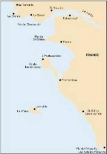
Image for Imray Chart C40 : Le Croisic to Les Sables-d'Olonne

Imray Chart C40 : Le Croisic to Les Sables-d'Olonne

See all formats and editions

Plans included: Le Croisic (1:15 000) Saint-Nazaire (1:25 000) Pornic (1:12 500) L'Herbaudiere (1:12 500) Goulet de Fromentine (1:30 000) Port-Joinville (Ile d'Yeu) (1:10 500) Port de Saint-Gilles-Croix-de-Vie (1:15 000) Les Sables d'Olonne (1:20 000) For this 2014 edition, the chart has been completely revised and updated throughout.

Read More
Title Unavailable: Out of Print
Product Details
1846236142 / 9781846236143
Sheet map, folded
01/06/2014
United Kingdom
1 pages
210 x 295 mm
General (US: Trade) Learn More