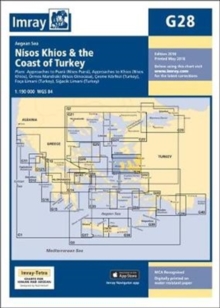
Image for Imray Chart G28 : Nisos Khios & the Coast of Turkey

Imray Chart G28 : Nisos Khios & the Coast of Turkey (New ed)

Part of the G Series series
See all formats and editions

Plans included:Approaches to Psara (Nisos Psara) (1:15,000)Approaches to Khios (Nisos Khios) (1:20,000)Ormos Mandraki (Nisos Oinoussa) (1:8,000)Cesme Koerfezi (Turkey) (1:18,000)Foca Limani (Turkey) (1:20,000)Sigacik Limani (Turkey) (1:18,000)On this 2018 edition full details of the new TSS schemes are shown at Izmir Koerfezi, Candarli Koerfezi and Nemrut Koyu; revised depths and harbour developments are shown at Psara, Khios, Cesme and Foca; the Sigacik Limani sketch plan has been replaced with a fully WGS84-compatible version; the latest known depths, restricted areas and marine farms have been applied to the main chart; and details of the recently deployed AIS transmitters are shown across the chart.

Read More
Available
£19.16 Save 20.00%
RRP £23.95
Add Line Customisation
2 in stock Need More ?
Add to List
Product Details
1786790157 / 9781786790156
Sheet map, folded
01/05/2018
United Kingdom
1 pages
210 x 295 mm, 140 grams