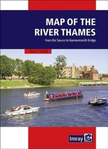
Image for Map of the River Thames

Map of the River Thames (3 New edition)

See all formats and editions

Full information on boating facilities is included in the mapping, as are all the essential details on restricting dimensions, locks and bridges.

Also shown are pubs, the Thames Path and other features of special interest.

Large-scale insets of Oxford, Abingdon, Reading, Henley, Windsor and Eton, the River Wey junction and the entrance to the Grand Union Canal add to the clarity of this well presented map.

Read More
Available
£7.96 Save 20.00%
RRP £9.95
Add Line Customisation
5 in stock Need More ?
Add to List
Product Details
1786792532 / 9781786792532
Sheet map, folded
31/03/2021
United Kingdom