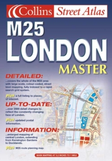
Image for London Master Street Atlas

London Master Street Atlas

See all formats and editions

Extending from Chestnut in the north to Reigate in the south and from Slough in the west to Gravesend in the east, this street atlas features main mapping at 3.2 inches to 1 mile, enlarged central area at 6.3 inches to 1 mile, and a route-planning map of the M25 London area.

Roads are colour-classified and buildings, postal district boundaries, car parks, hospitals and police stations, places of interest are also featured.

Read More
Title Unavailable: Out of Print
Product Details
Collins
0007129629 / 9780007129621
Hardback
912.421
01/10/2001
United Kingdom
English
iii, 349p.
31 cm
general Learn More
Maps on lining papers.