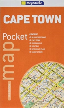
Image for Pocket map Cape Town

Pocket map Cape Town (12th ed)

See all formats and editions

Cape Town Pocket Map is an updated edition handy pocket map which contains detailed maps of Cape Town and the Cape Peninsula.

Including an index of street and place names. The map includes the top tourist sites of Cape Town such as Victoria and Albert Waterfront, Kirstenbosch, Bloubergstrand, Cape Point, Durbanville, Hout Bay, Mitchells Plain and Simon’s Town as well as provincial historical sites, museums, art galleries, shopping malls, schools, hospitals and clinics, nature reserves, parks and additional places of interest.

Read More
Available
£5.59 Save 20.00%
RRP £6.99
Add Line Customisation
Usually dispatched within 4 weeks
Add to List
Product Details
Map Studio
1776170024 / 9781776170029
Sheet map, folded
18/10/2018
South Africa
1 pages
100 x 170 mm, 500 grams