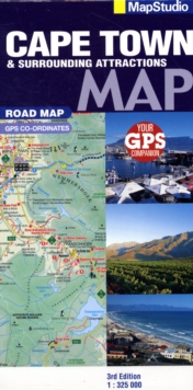
Image for Road map Cape Town & surrounds

Road map Cape Town & surrounds (3rd ed)

See all formats and editions

Detailed map at 1 : 325 000 scale South Western Cape, Overberg & Winelands; detailed map for scenic drives of the region; index of place names & big 6 attractions; index of wine estates.

Places of interest: tourist sites; historical sites; lighthouses; wine estates + wineries; swimming beaches; dive sites; shipwreck sites; whale watching sites; birding sites; farm stalls; 4x4 trails & hiking trails; memorials; parks, reserves & nature areas; hotels & caravan parks; tourist friendly text on top sites with historic info; topography indicating heights; listings of regional activities.

GPS co-ordinates: All the back roads + gravel roads you need. colour photo's of main sites. Comprehensive contact info for regions.

Read More
Title Unavailable: Out of Print

The title has been replaced.To check if this specific edition is still available please contact Customer Care +44(0)1482 384660 or schools.services@brownsbfs.co.uk, otherwise please click 9781770269217 to take you to the new version.

This title has been replaced View Replacement
Product Details
Map Studio
1770261079 / 9781770261075
Sheet map, folded
24/11/2009
South Africa
130 x 250 mm, 100 grams
General (US: Trade) Learn More