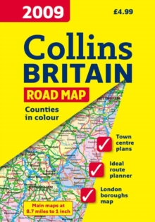
Image for Map of Britain

Map of Britain (New ed)

See all formats and editions

Full colour double-sided map of Great Britain at 8.7 miles to 1 inch with clear, detailed road network, a selection of town plans and administrative areas clearly shown. This popular map of Britain has clear political colouring with counties and unitary authorities shown in colour as well a detailed road network. The map includes: / A road map of Britain at 8.7 miles to 1 inch with administrative areas clearly shown. / 16 street maps of major towns focussing on the town centres and showing places of interest, car park locations and one-way streets. / Distance chart highlighting distances between major towns throughout Britain. / Key to symbols is in English, French and German. / Index to settlements. Area of coverage: Double-sided map covering the whole of Britain.

Scotland and Northern England are on one side with Wales and the rest of England on the other. This is a general purpose map of interest to both business users and for those touring the country.

It has a particular emphasis on political features and can be used as a reference map and a route planning map.

Read More
Title Unavailable: Out of Print

The title has been replaced.To check if this specific edition is still available please contact Customer Care +44(0)1482 384660 or schools.services@brownsbfs.co.uk, otherwise please click 9780007285044 to take you to the new version.

This title has been replaced View Replacement
Product Details
Collins
0007272499 / 9780007272495
Sheet map, folded
912.41
07/07/2008
United Kingdom
With index
140 x 245 mm, 121 grams
General (US: Trade) Learn More