Image for Alps Marco Polo Map

Alps Marco Polo Map

See all formats and editions

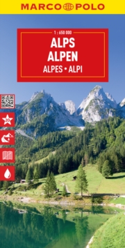
Marco Polo Alps Map: the ideal map for your tripLet the Marco Polo Alps Road Map guide you around the Alps.

Discover the most extensive mountain range in Europe with this highly durable, detailed, touring map.

It folds away easily and is always on standby to help when you're stuck.

Perfect touring map - the scale is 1 : 650 000 ideal to help you tour the region by car or campervanEasy to use - the superbly clear mapping in strong colours and easy to read text will help you navigate the country like a localDurable, tear-resistant map - designed to withstand the rigors of the road, the map is printed on tear-resistant, water repellent and writeable paperHighlights included - major sights and key points of interest are marked on the map by numbered stars.

Further information about these key sights can be downloaded via a QR code where you’ll find a brief description to help you pick the best places to see en-routeDream routes – inspirational routes with beautiful scenery are included on the maps to guide you on your next adventureExtensive index - the thorough index, also included on the QR code, is fully cross-referenced to the map to help you pinpoint your destination quickly For the big trips and the little detours, trust Marco Polo's clear mapping and thorough index to guide you around the Alps.

Read More
Available
£7.49 Save 25.00%
RRP £9.99
Add Line Customisation
10 in stock Need More ?
Add to List
Product Details
MAIRDUMONT GmbH & Co. KG
357501762X / 9783575017628
Sheet map, folded
19/10/2023
Germany
1 pages
130 x 257 mm, 91 grams