Image for Morocco Marco Polo Map

Morocco Marco Polo Map

Part of the Marco Polo Maps series
See all formats and editions

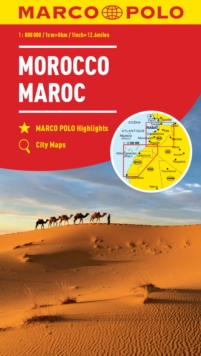
Marco Polo Morocco Map: the ideal map for your tripLet the Marco Polo Morocco Map guide you around this fascinating country.

Discover a diverse landscape of snow-capped mountains and deserts, walled cities and wild coastlines with this highly durable touring map of Morocco.

It folds away easily and is always on standby to help when you're stuck. Perfect touring map - the scale is 1 : 800 000* ideal to help you plan your overall route and navigate the main highways by car, RV or campervanEasy to use - the super clear mapping in strong colours and clear text will help you navigate the regionIncludes 7 city maps - detailed street maps of Ceuta, Marrakech, Melilla, Tanger, Fes, Rabat and Meknes cities are included Morocco highlights - major sights and key points of interest are marked on the map by numbered stars and these are listed in the index booklet with a brief description to help you pick the best places to see en routeExtensive index - the thorough index is fully cross-referenced to the map to help you pinpoint your destination quicklyFor the big trips and the little detours, trust Marco Polo's clear mapping and thorough index to guide you around Morocco. *(1: 800 000 / 1cm=8km / 1inch=12.6 miles)

Read More
Title Unavailable: Out of Print

The title has been replaced.To check if this specific edition is still available please contact Customer Care +44(0)1482 384660 or schools.services@brownsbfs.co.uk, otherwise please click 9783575017802 to take you to the new version.

This title has been replaced View Replacement
Product Details
MAIRDUMONT GmbH & Co. KG
382973929X / 9783829739290
Sheet map, folded
912.64
01/08/2022
Germany
English
1 pages
130 x 250 mm
General (US: Trade) Learn More